

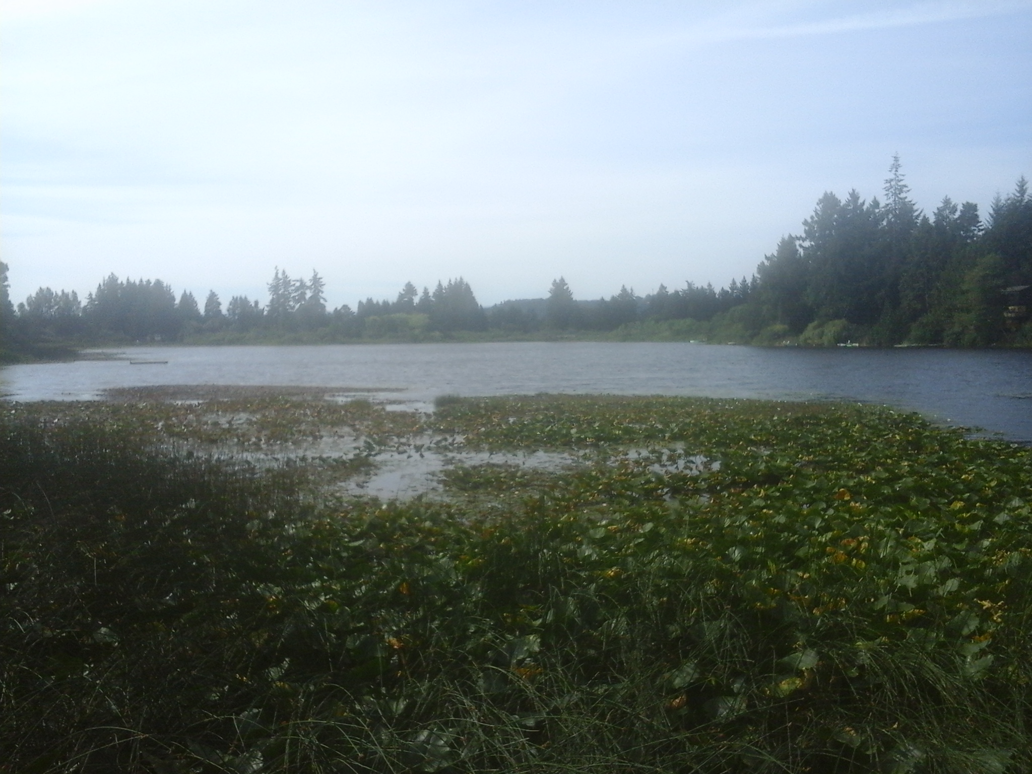
A sixty meter long boardwalk is the focal point for Florence Lake Park North. This park is found in the Florence Lake neighborhood of Langford, B.C. Florence Lake is a shallow glacial kettle lake with a surface area of about eight hectares and average depth about two meters. There is one seasonal tributary, Florence Lake Creek North, providing water flow into the lake from the slopes of Skirt Mountain which lies to the northwest. Florence Lake Creek South drains from the south end of the lake and flows through a series of culverts, mostly under the Trans Canada Highway, until it reaches Mill Stream. The lake had been stocked with rainbow trout for several decades until the water quality was determined to limit fish survival. This park is marks the north eastern end of the walk along the shore of Florence Lake. Strachan Trail, along Florence Lake, is about a three kilometer return stroll over flat terrain. This is good place to enjoy the views the water fowl and flora on Southern Vancouver Island, B.C.
Geographic location N48° 27’41” W123°30’45”
Florence Lake Park North can be reached from the Trans Canada Highway also called Hwy1. Turn at McCallum Road/Spencer Road exit and continue along McCallum Road to reach Brock and Springboard roads. Follow the curve to the right to stay on McCallum Road and then take the curve to the left to turn onto Florence Lake Road. Stay on Florence Lake Road and look for a small parking area, on the left, past the junction with Setchfield Avenue. There are three parking sites at this park. City buses travel along Setchfield Avenue.
