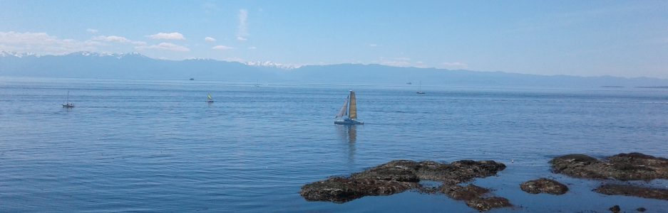
Walbran Park is in the community of Oak Bay, one of thirteen communities that form the Capital Regional District of British Columbia. Named after Captain John T. Walbran, a mariner and author of the nineteen o’nine book titled ‘British Columbia Coast Names’, Walbran Park has two sections: it hosts a cairn dedicated to explorations of the Strait of Juan de Fuca and a Second World War observation post. The Board of Canada established a Historical Site Monument in the park in nineteen twenty-five. The plaque on the cairn indicates that in 1592 the Strait of Juan de Fuca was discovered but it took until 1787 before Charles William Barkley explored the area. Later, in 1792, Captain George Vancouver explored the Strait and surrounding waterways for the British Government. The area was further explored when Captain Walbran, whom initially served on the British training ship HMS Conway, cruised the Strait of Georgia and areas aboard the SS Quadra. This section is about two hectares in size. Also Walbran Park, take in the breathtaking vista from the World War II platform observation post located across the street from the rock cairn. The concrete platform provides a fantastic panoramic view of Oak Bay’s and Victoria’s hidden coves and bays. The platform has a metal nineteen step staircase and metal deck. This section, about one hectare in size, of the parkland is also composed of gneiss rock of the Coquitz and Weiss terranes. The rocks show some glacial striations and are mostly covered by mosses, lichens, grasses and springtime flowers. Small shrubs, mostly broom and a few Garry oak trees can also be found in this hilltop parkland. Gonzales Hill Regional Park and Sunny Green Space are nearby.
Geographic Location N48º 24’ 42” W123º 19’ 14”
Walbran Park can be reached from the Trans-Canada Highway. Continue along the Hwy 1 into Victoria as it becomes Douglas Street. Turn off Douglas onto Hillside Avenue to head east. Stay on Hillside Avenue as it becomes Lansdowne Road. Continue along Lansdowne Road to reach Foul Bay Road. Continue along Foul Bay Road to reach Fairfield Road. Turn left onto Fairfield Road and continue along to Denison Road. Turn right onto Denison Road and continue up the hill past the parking area for Gonzales Hill Regional Park to the end of the road. There is limited roadside parking along Denison Road. City busses travel close to this park and the park can be access by walking up the trail and stepping up the 116 stairs near intersection of Sunny Lane and King George Terrace. It is near a public beach access to McNeill (Shoal) Bay.
