
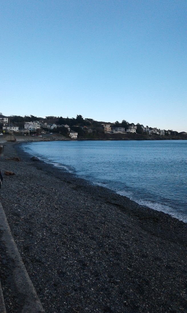
McNeill (Shoal) Bay Park is in the seaside community of Oak Bay, one of the thirteen communities in the Capital Regional District of British Columbia. This park is a long park that follows the shore line of the bay. Named after Captain W.H. McNeill in 1838, who pleased to find after months of exploring forest-clogged coast, a great sweep of golden grassland interspersed with stands of Garry Oak. The bay provides views of the lighthouse on Trial Island, Kitty Islet, Anderson Hill Park and Walbran Park. The Olympic Mountains form a panoramic backdrop. From the southwestern end of the beach, there is a trail that leads to Walbran Park. Close to Blueberry (Anderson) Hill, McNeill Bay is a cobble and rocky beach that is open to the south winds yet is a great starting point for a walk to either park. The shoreline is lined with a concrete barrier that is terranced an curved to limit erosion by the Salish Sea.
Geographic Location N48º 24’ 45” W123º 18’ 53”
McNeil Bay Park can be reached from the Trans-Canada Highway. Continue along the Hwy 1 into Victoria as it becomes Douglas Street. Turn off Douglas onto Hillside Avenue to head east. Stay on Hillside Avenue as it becomes Lansdowne Road. Continue along Lansdowne Road to reach Foul Bay Road. Continue along Foul Bay Road to reach Fairfield Road. Turn left onto Fairfield Road and continue along to Beach Drive. Turn left onto Beach Drive and continue along the shore McNeill Bay. Parking is limited on Beach Drive City busses provide access off of Transit Road.
