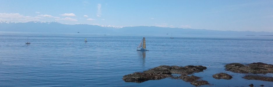


 Located along the western shore line of the Selkirk Water of the Gorge Waterway, Regatta Point Park borders along the Trans Canada Parkette, which lies at the end of the Selkirk Trestle Bridge. Nearly three quarters of a hectare in size, the linear park follows the rocky shoreline of the Gorge from the Selkirk Trestle Bridge to the Ellice Point, or Bay Street Bridge. Parts of the park area are overlain with the Galloping Goose Trail yet there are a couple of sites that are worth exploring and there are benches along its half an kilometer length. The Railyards Wharf, just south of the trestle bridge, is marked by a brickwork pattern of a compass rose which is incorporated in the pathway. The wharf is a Victoria Harbour Ferry stop and may have limited access for launching small watercraft. A couple of meters along the trail past the wharf is a small grass covered promontory which is Regatta Point. It projects northward toward the Sister Rocks in the water Selkirk Waters. Further off shore is Halkett Island. At the lowest low tides it is possible to walk to the Sister Rocks using the rough pathway down from the Point. A gravel pathway loops around the grassy knoll of the Point. Another few meters along the park is a lookout point with a roof. There is a small discrete building near here that is a public washroom.This part of the trail is at the end of Regatta Landing. The pathway’s brickwork is formed with a pattern of a series of circles.
Geographic Coordinates N48° 26’ 14” W123° 22’ 52”
Regatta Point Park can be reached from Blanchard Street. Turn west onto Bay Street and continue across the Ellice Point Bridge. At the first lights turn a sharp right onto Tyee Road. Follow Tyee Road to the end where there is a small parking area. Walk about thirty meters down the pathway to the junction of the Galloping Goose Trail and the Selkirk Trestle Bridge to see the TCT pavilion and continue along the walkway back toward the Ellice Point Bridge. A city bus travels along Craigflower Road from downtown.
