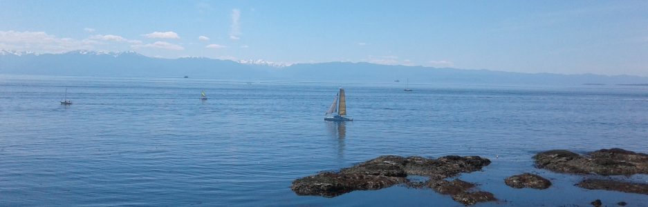

Tanner Park is in the municipality of Central Saanich, one of the thirteen which form the Capital Regional District of British Columbia. Located on the Saanich Peninsula of Vancouver Island, visit this small park to enjoy a wonderful view of the Keating Valley. The parkland is grass field with the fences of the perimeter residential properties. A foot path connects the park to Tanner Ridge Place. Enjoy the views to west, especially sunsets, over the distant hills of the Malahat and those that lead to San Juan River Valley.
Tanner Road was renamed from John’s Cross Road to commemorate Henry Ernest Tanner who, during the early nineteen hundreds, farmed in the area with his brother Frank. They purchased land from John Sluggett and formed the Tanner Brothers Avondale Farm with an orchard and berry fields. Civic minded, Harry served as member of the Liberal caucus of the British Columbia Legislature, a Saanich Councilor and president of the Saanich Fruit Growers Association. This is a good place to walk in your backyard.
Geographical location N48º 33’ 07” W 123º 24’ 03” Tanner Park can be reached from the Trans-Canada Highway. Exit Hwy 1 to reach Hwy 17, Pat Bay Highway, by turning off at Mackenzie Avenue. Once on Hwy 17 follow along to reach Tanner Road. Exit to the left and follow Tanner Road to reach Rodolph Road. Turn left onto Rodolph Road and look for the park on the right between homes 6244 and 6272. City buses make stops along Tanner Road.
